Far away is close at hand in images of elsewhere
Graffiti at Paddington Station in the 1970s
Maps guide us to a world of unknowns. They provide a pointer to the different and exotic, carrying ideas from one place to another. Maps are not only graphic aids to navigation of the physical world but are also creative representations of ideas, beliefs, and ideologies which reflect cultural views of the times and, in turn, help to define and reinforce those perspectives.
Maps were integral to the Australian Inland Mission’s activities during the 1920s to the 1950s.
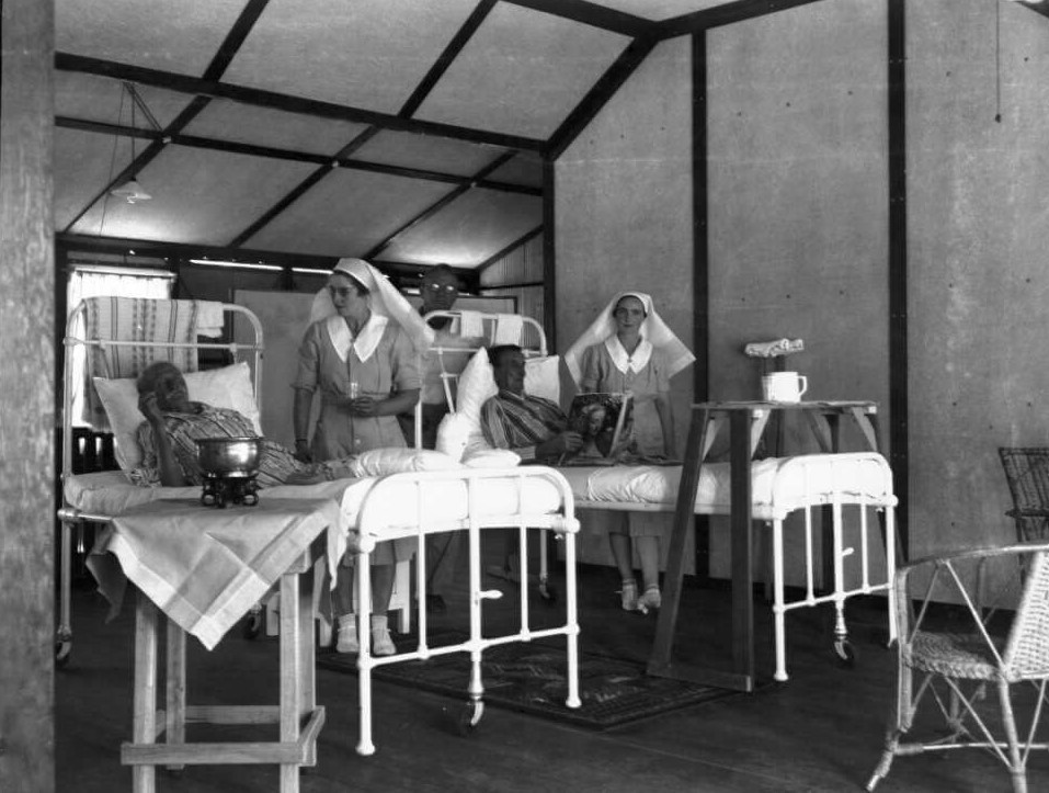
The Australian Inland Mission (A.I.M), which provided health care as well as spiritual and social guidance to people of remote inland Australia was established by Reverend John Flynn in 1912. Flynn’s vision was based on an earlier model developed by the Presbyterian church at Oodnadatta in South Australia. This health and community work of Sister Alice Main and her successor Sister Latto Bett from 1907 to 1910 was the prototype for A.I.M nursing clinics.

Flynn’s vision was for an organisation which nurtured the physical, social and spiritual well being of settlers in remote inland and northern Australia. Today we tend to associate missions with proselytizing and the education of Indigenous people, however, the A.I.M was primarily about supporting and nurturing British settlers in remote Australia and was deliberately non-evangelising. However, the A.I.M was auspiced and partially funded by the Presbyterian Church; and Flynn’s ideas were heavily influenced by a Protestant social gospel agenda which promoted broad social reform such as alleviation of the ill health, poverty and poor living conditions among the most disadvantaged members of the community. The Australian Inland Mission should not be confused with an unrelated evangelical organisation, the Aborigines’ Inland Mission (with the same acronym) later renamed Australian Indigenous Missions run by a branch of the Baptist church.

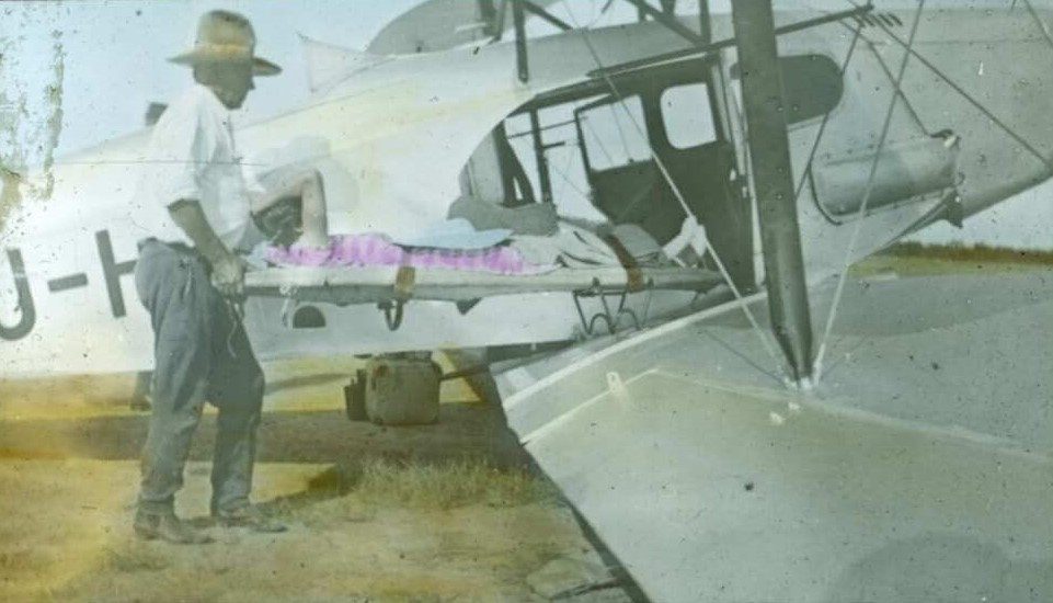
A network of nursing clinics in South Australia, Queensland, Northern Territory and Western Australia were the literal and metaphorical heart of the organisation. By 1939 these clinics numbered fourteen. The Flying Doctor Service is the best known aspect of the A.I.M work today. Its precursor the Aerial Medical Service, was formed under the auspices of the AIM in 1928, based in Cloncurry Queensland before expanding to provide services in South Australia, Western Australia, western NSW and Northern Territory. Doctors provided regular medical advice by radio to A.I.M nurses as well as acute medical treatment by plane and conducted ‘fly-in-fly-out’ remote medical clinics. The Aerial Medical Service became a separate organisation in the late 1930s, changed its name to ‘Flying Doctor Service’ in 1942 before acquiring a Royal prefix in the 1950s. The third arm of the A.I.M was the group of ‘roving padres’ who ministered to the spiritual needs of settlers of Protestant denominations.
During the 1960s and early 1970s many of the A.I.M nursing clinics became subsumed into state-run health services. In 1977, the Presbyterian Church split to become the Uniting Church and the continuing church. A.I.M assets were assigned to the Uniting Church, and the organisation’s legacy is the Uniting Church in Australia Frontier Services which no longer provides direct medical care.

Maps formed an essential part of the work of all three arms of the AIM and the maps presented in this essay were working tools often creased, stained and annotated with notes and stickers. Some of the maps in this essay were made for navigation by nurses, pilots and clergy working for the A.I.M and Flying Doctor Service. However, many of the maps that have survived in the AIM and Flying Doctor Service collections were made for promotion. I have divided exploration of these maps into ‘Navigational Maps’ and ‘Early Promotional Maps 1910s-1930s ’ and ‘Later Promotional Maps 1930s-1960s’.
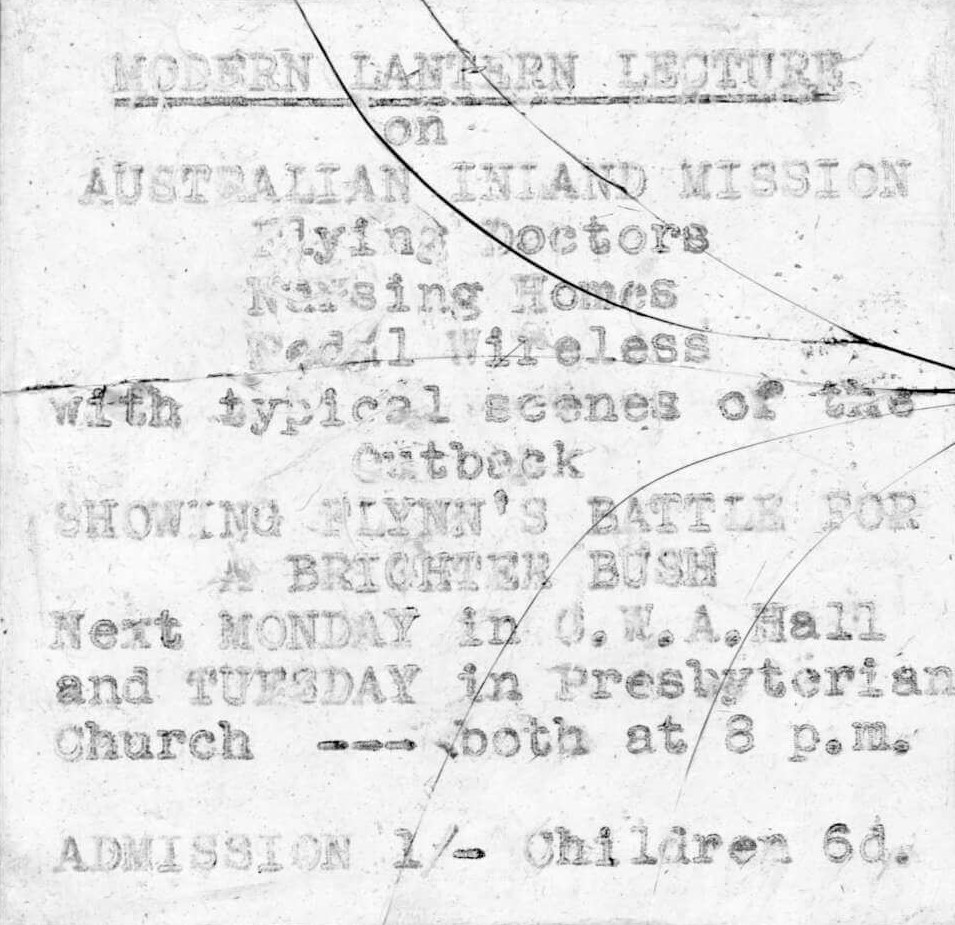
John Flynn, founder of the A.I.M, was a master marketer and ceaselessly promoted the many activities of the organisation to audiences in metropolitan and settled areas, to increase awareness of the organisation and raise funds for its activities. Maps were a vital aspect of this promotion. They were printed in A.I.M magazines such as The Inlander and presented in lectures as glass lantern slides and wall charts. These maps were graphic representations of the A.I.M’s particular understanding of places, spaces and processes and as such, for us, they are a rich window into the ideology of the organisation and of the times.
All of the maps in this essay were produced by or for the A.I.M or the Flying Doctor Service. The original maps are located in the collection of the Uniting Church in Australia Frontier Services, in the National Library of Australia (MS5574) and the collection of the Royal Flying Doctor Service, New South Wales Branch in the State Library of New South Wales (MLMSS8935). Original photographs and lantern slides are in the collection of the Uniting Church in Australia Frontier Services or the collection of the author. Permission for reproduction in this essay of images under copyright has been granted by the Uniting Church Frontier Services and the Royal Flying Doctor Service, NSW Branch.
Read more more about the maps of the A.I.M and Flying Doctor Service here:
I need to to thank you for this excellent read!!
I certainly loved every bit of it. I have you book marked
to check out new stuff you post…